Aerial Mapping for Small Areas
Aerial Mapping services for small areas with fast turn-around,
competitive pricing and outstanding customer service.
Ard has the ability to quickly collect highly detailed
geospatial data of smaller areas using customized UAV Drone Systems. Once data collection is complete,
streamlined data processing allows for speedy end product deliveries.
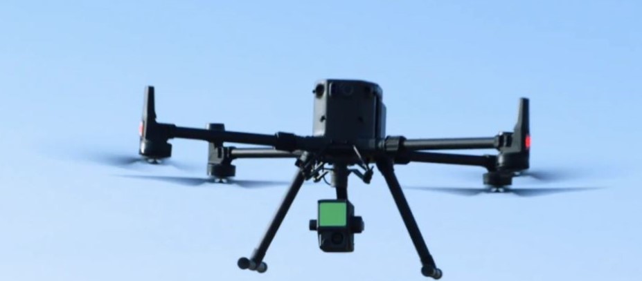
At the standard flying height of 120 meters above ground level we
achieve a Ground Sampling Distance (GSD) of 4cm.
The Ard UAV Drone system has major advantages over traditional
aerial photography. The system is highly transportable. Mobilization is quick and the system is available on
a short notice. The UAV operate below cloud coverage, making it less dependent on weather
conditions.
Ard UAV System consists of small aircraft with autopilot and
camera, software for flight mission planning and flight operations. In autonomous mode the autopilot controls
the location-triggered image exposures with the help of on-board GPS and IMU.
Applications
|
Aerial Lidar
Survey
|
 |
|
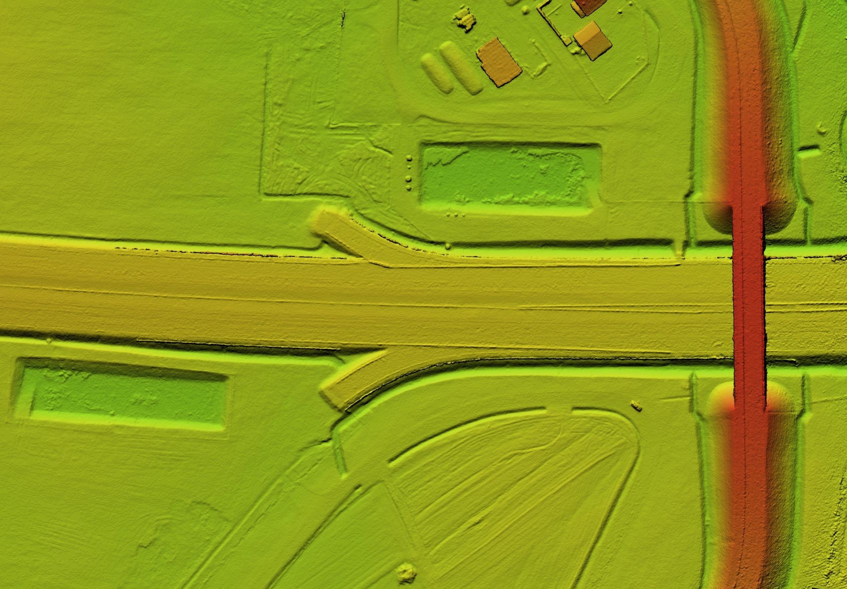
The real advantage of UAV based LIDAR is the
ability to penetrate through vegetation to reach the ground, capturing the ground surface
accurately and producing a Digital Elevation Model (DEM) with great detail. Ard can perform
LIDAR aerial surveys of both surface terrain elements and man-made
structures.
The combination of
LIDAR scanning technology with an aerial drone platform allows for exceptional efficiency and
speed for gathering accurate spatial data to support various industries, such as architecture
and engineering, power generation and transmission, oil and gas, and
others.
|
|
Topographic
Survey
|
 |
|
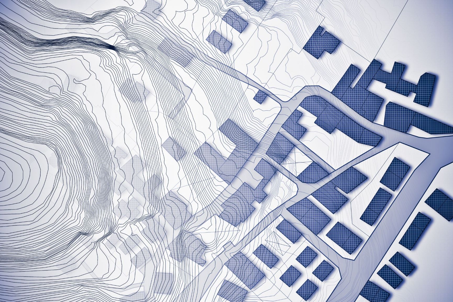
Our aerial surveys
provide high resolution orthomosaics and dense point clouds, as well as detailed Digital
Surface Models (DSM) and Digital Terrain Models (DTM) which can be exported to various CAD
formats. The high quality data is suitable for detail design and planning
tasks.
|
|
Quarry
Sites
|
 |
|
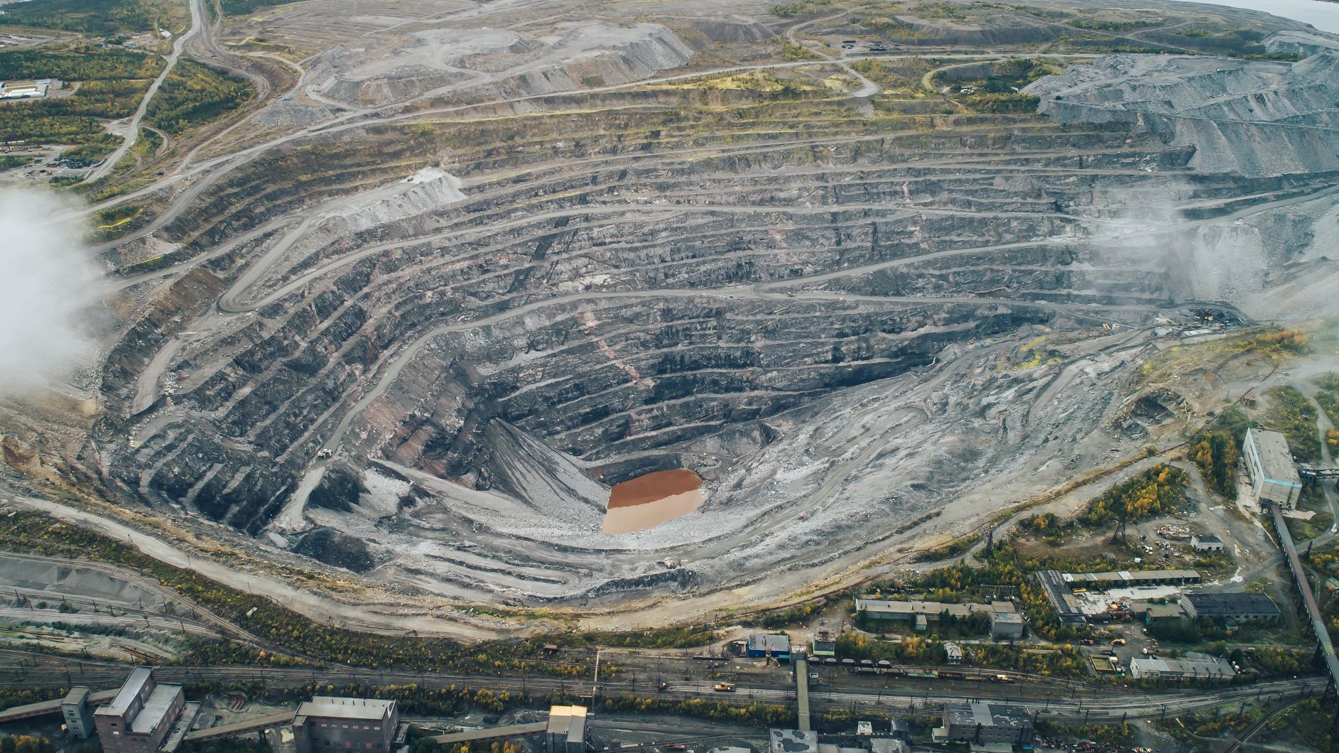
UAV survey
technology allows our team to take off and land from a safe vantage point overlooking the
quarry to create accurate 3D CAD models for calculating accurate volume measurements of
Quarry Sites.
|
|
Stockpile
Survey
|
 |
|
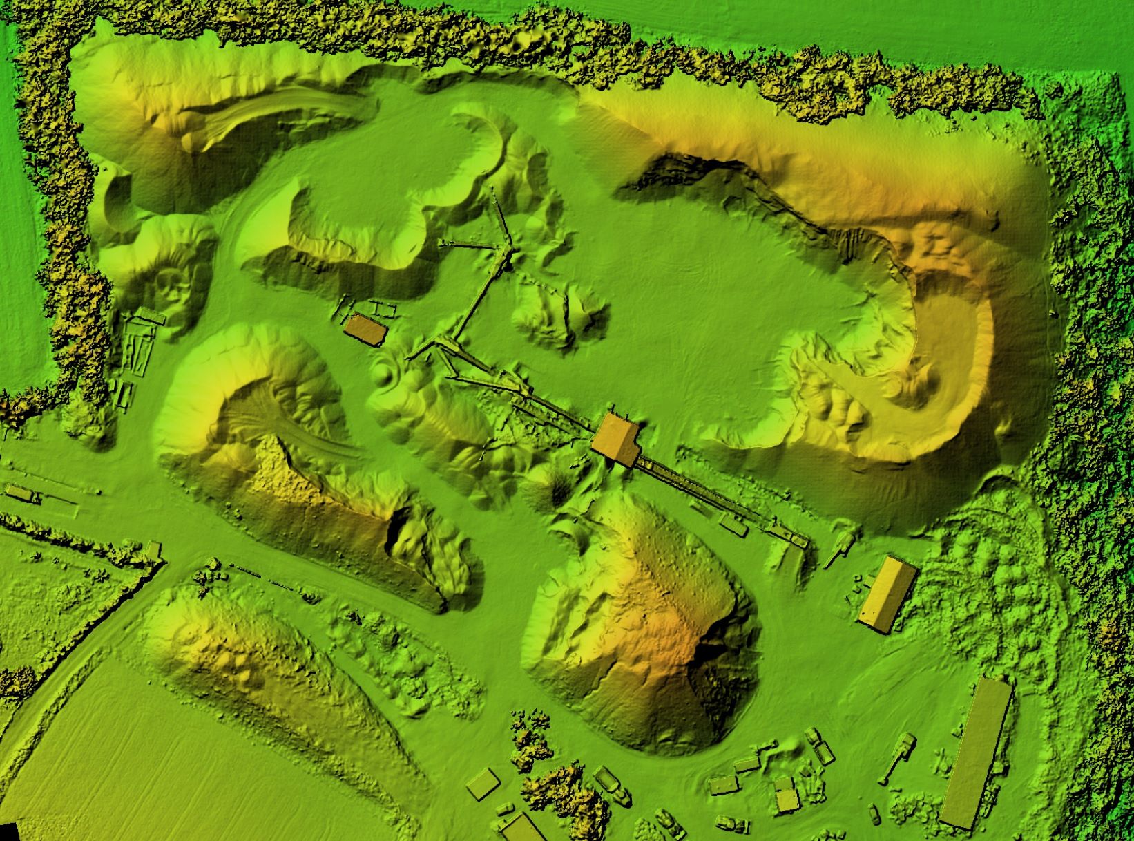
We can quickly and
safely help your company survey Stockpiles that are difficult to access on foot, and produce
accurate and reliable data as you move forward your cut-and-fill quantity
analysis.
|
|
Landfill
Sites
|
 |
|
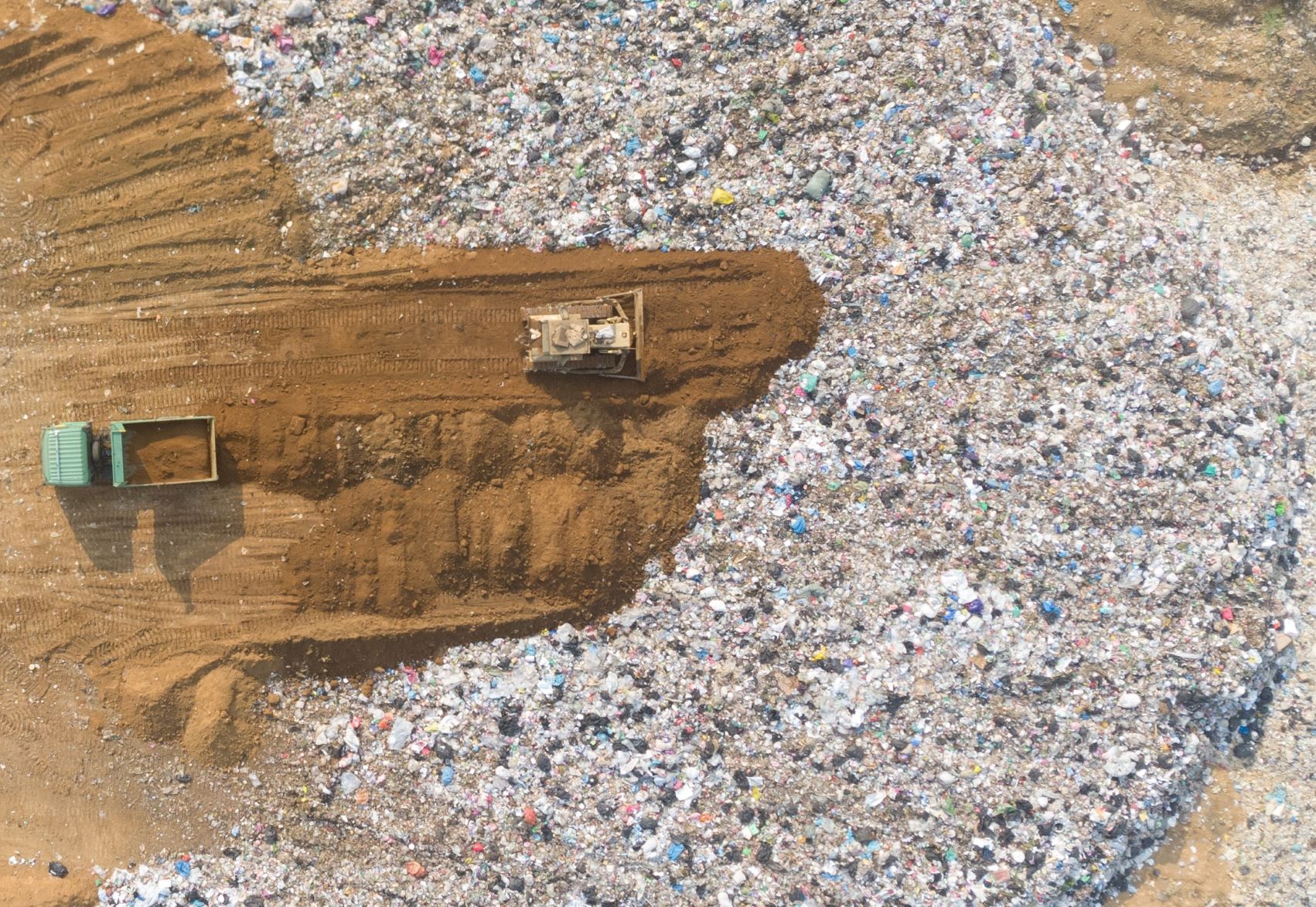
We understand the
landfill environment and possess the specialist knowledge required to conduct drone aerial
surveys safely and effectively, considering the hazardous working environments presented by
the landfill sites.
|
|
Route
Survey
|
 |
|
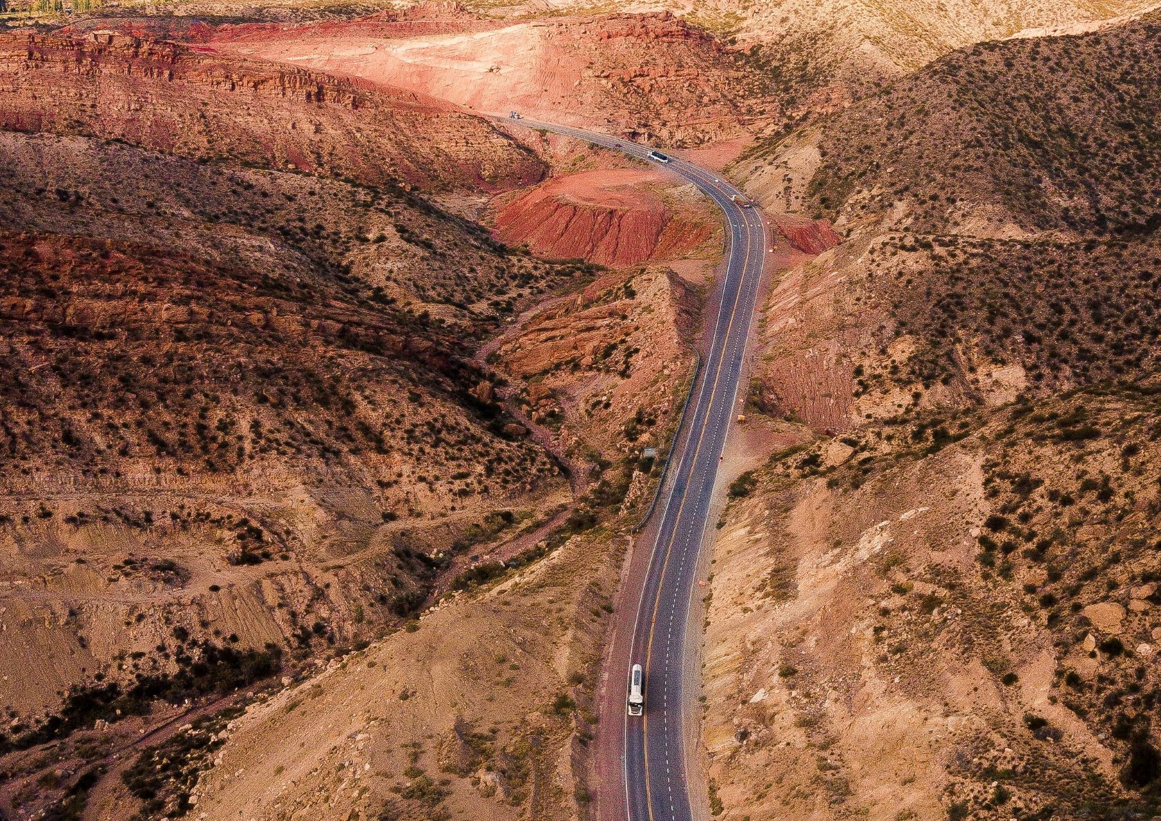
Ard has experience
in survey and mapping operations for road, railway and pipeline design and construction
projects. Our survey services include preliminary route evaluation and detail route
selection, centerline topographic and right-of-way survey.
|
Request a
Quote
| 